


Featured research: How suitable are globally available satellite data for drought index insurance?
09 September 2021
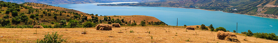
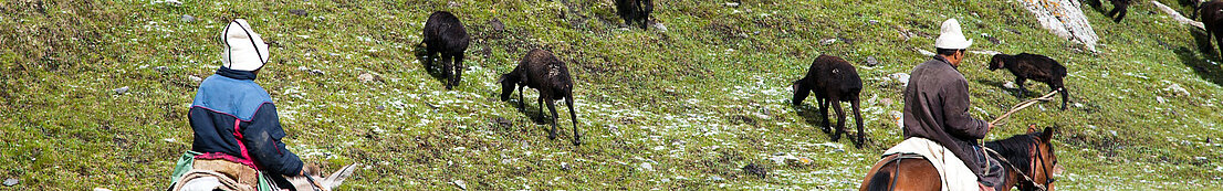
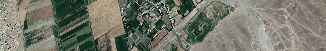
One of the main challenges of introducing crop index insurance in developing countries is the lack of reliable weather data for index development and implementation. A recent Klimalez study systematically analyzes the accuracy of several globally available satellite data, namely the Global Satellite Mapping of Precipitation (GSMaP), Climate Hazards Group InfraRed Precipitation with Station (CHIRPS), and the Global Land Data Assimilation System (GLDAS) as compared to the benchmark of ground-level weather information for the case of Uzbekistan.
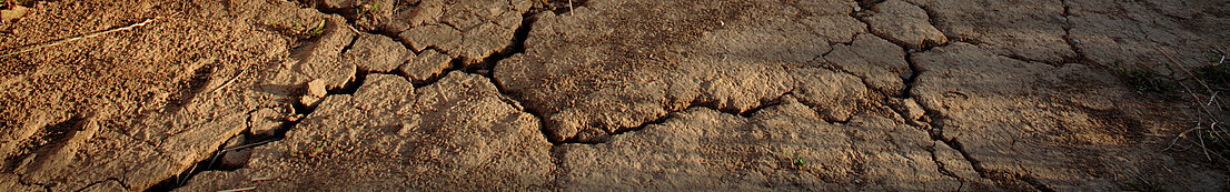
According to our results, all satellite-based weather products exhibit satis-factory accuracy in measuring weather parameters and detecting drought/flood events in semi-arid and arid zones of Central Asia. Meanwhile, GSMaP on its own and in combination with GLDAS, as an MDI, demonstrated better performance than CHIRPS. More-over, all satellite-based weather products achieved slightly higher accuracy during rainy and wet seasons. Find out more here: